Geomatics, drones and geospatial data consulting
Geomatics services: GIS projects, remote sensing, mapping, cartography
Drones and uncrewed systems: pilot, program consulting, deployment, project implementation
Data science: visualization, exploration and cleaning, machine learning
Hibou Geomatics provide services and products for all land users and stakeholders in various domains from agriculture to forestry to land cover classification and geosciences.
Working with First Nations across Canada since 2020, Hibou Geomatics helps indigenous communities assessing their traditional territories by mapping what is important to them, from traditional land use to industrial impacts.
Projects
Many of our projects contain client sensitive data, and consequently can’t been display here. But please find below similar examples with open public data.
Athabasca Lake, AB
Remote Sensing portfolio using Sentinel-2 satellite imagery.
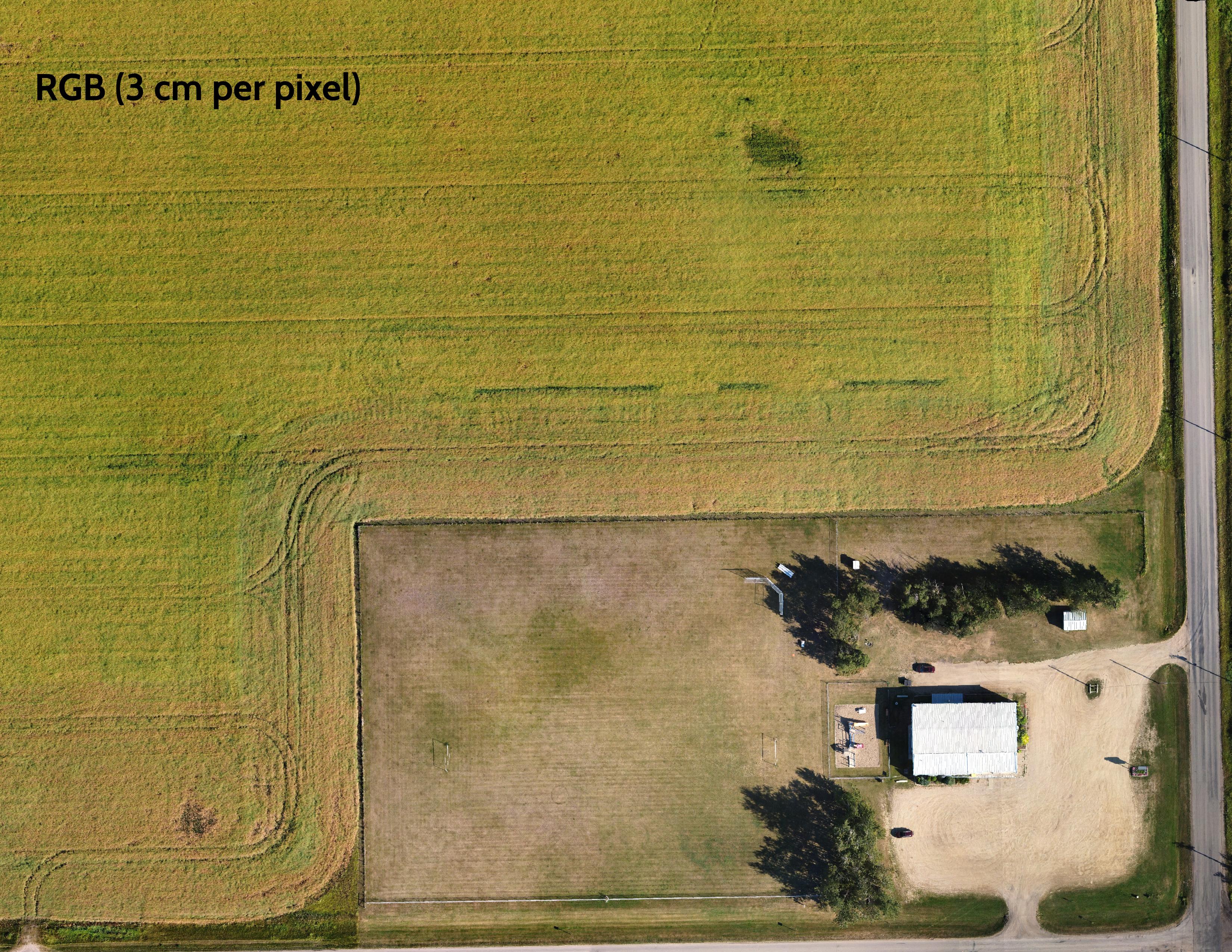
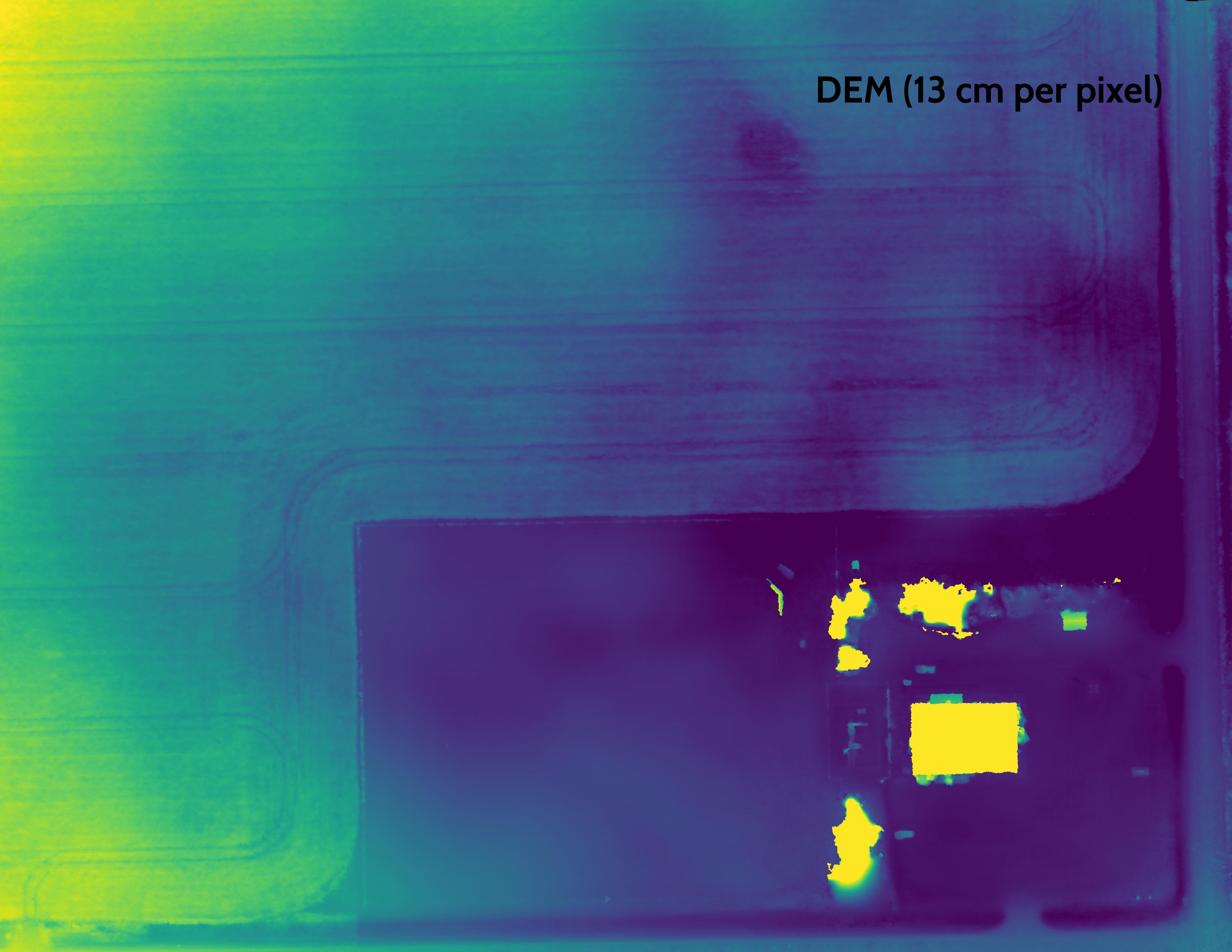
Woodbend community hall, AB
Drone survey, orthoimage and digital elevation model.
Riou Lake, SK
Reference map using open data.
Open data mapping
Bilingual
Hibou Geomatics is a bilingual company. All services and products are offered in French or English, as well as any communication.
Contact me
Via the form below or email me: pierre@hibougeomatics.ca
